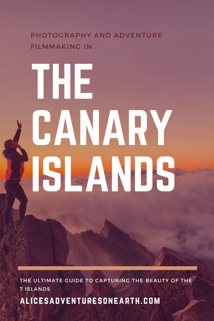
Best Photography Spots in the Canary Islands
Best Photography Spots in the Canary Islands
The Canary Islands are a Spanish archipelago located less than 100 miles from the African coast. Part of a volcanic chain that includes the Azores and Madeira Island the 8 islands are varied in landscape and size. Offering dozens of beautiful destinations for photography, adventure and hiking. From black sand beaches and rugged cliffs, to sweeping vistas and high mountains the islands have a mind blowing array of differing sceneries and some of the most amazing sunrises and sunsets I have ever seen. You can follow along with some with the destinations by joining me on Trover and exploring other great destinations all over the world.
Gran Canaria
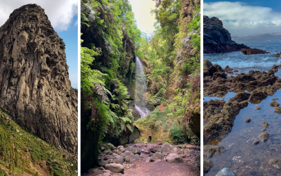
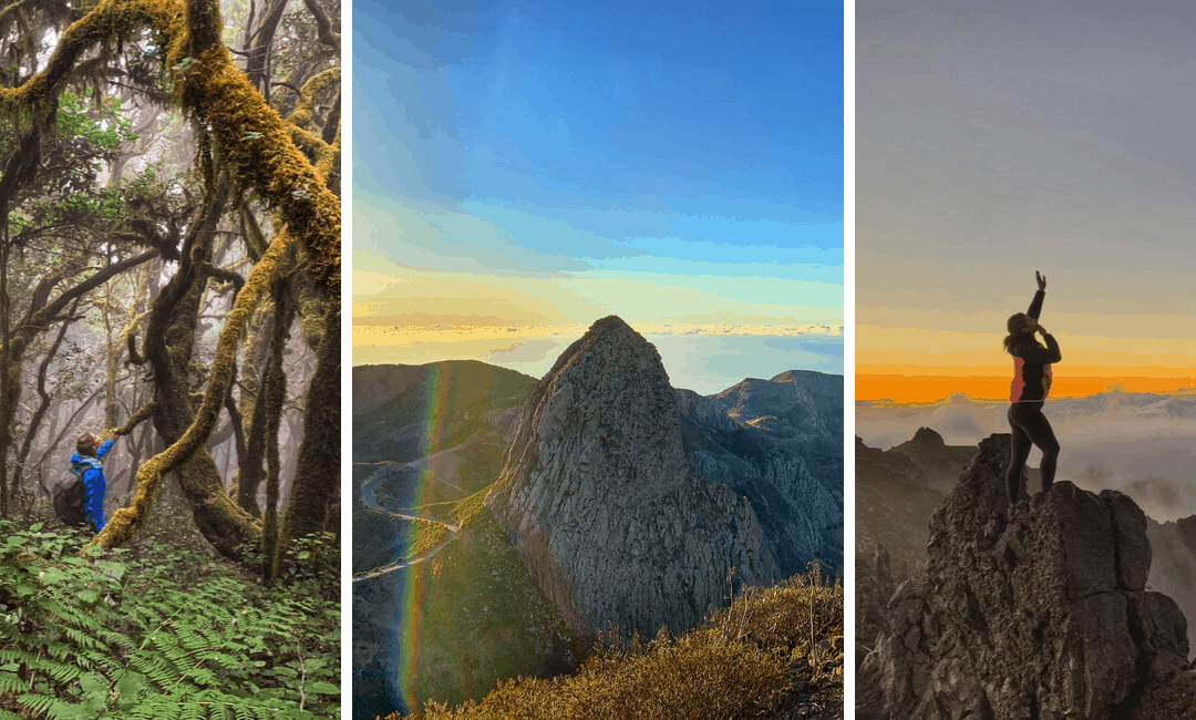
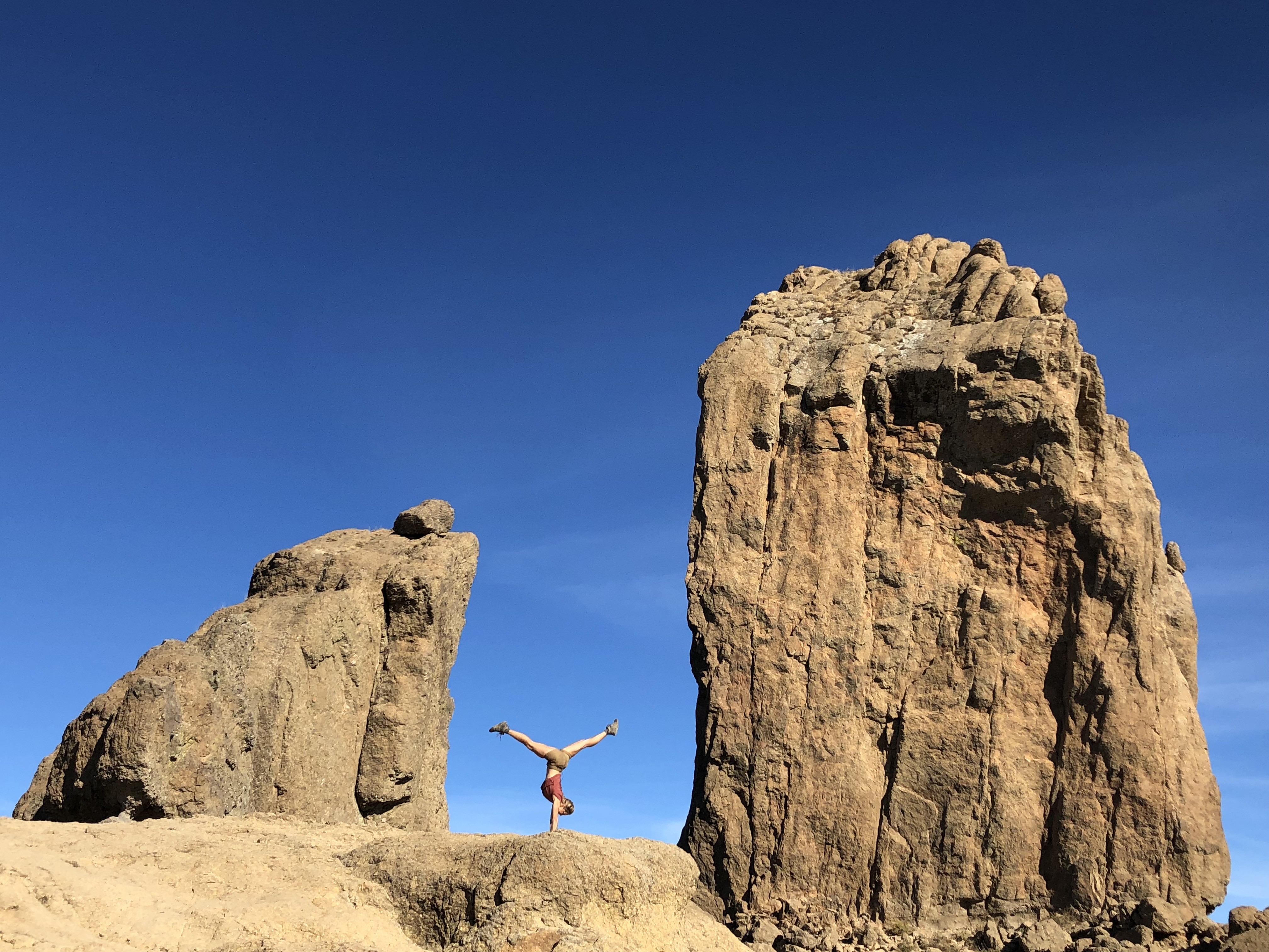
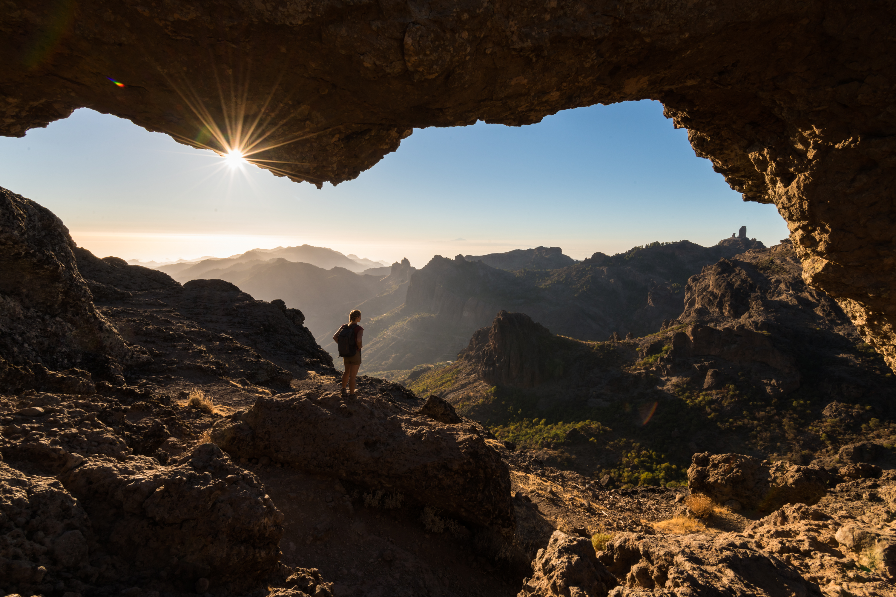
Roque Nublo is one of the world’s tallest monoliths standing more than 70 meters tall, it is also the highest point on the island of Gran Canaria. It offers sweeping vistas that overlook the entire island, often surrounded by a sea of clouds this monolith is great to capture in the morning light or during the daytime hours. Avoid the crowds by visiting early or late. For a different perspective hike up the hill from the parking lot across from the monolith to see its entirety.
***This post may contain affiliate links which means if you purchase something through that link, I will make a small commission at no additional cost to you. Think of it as buying a cup of coffee for me on someone else. Thanks and enjoy!
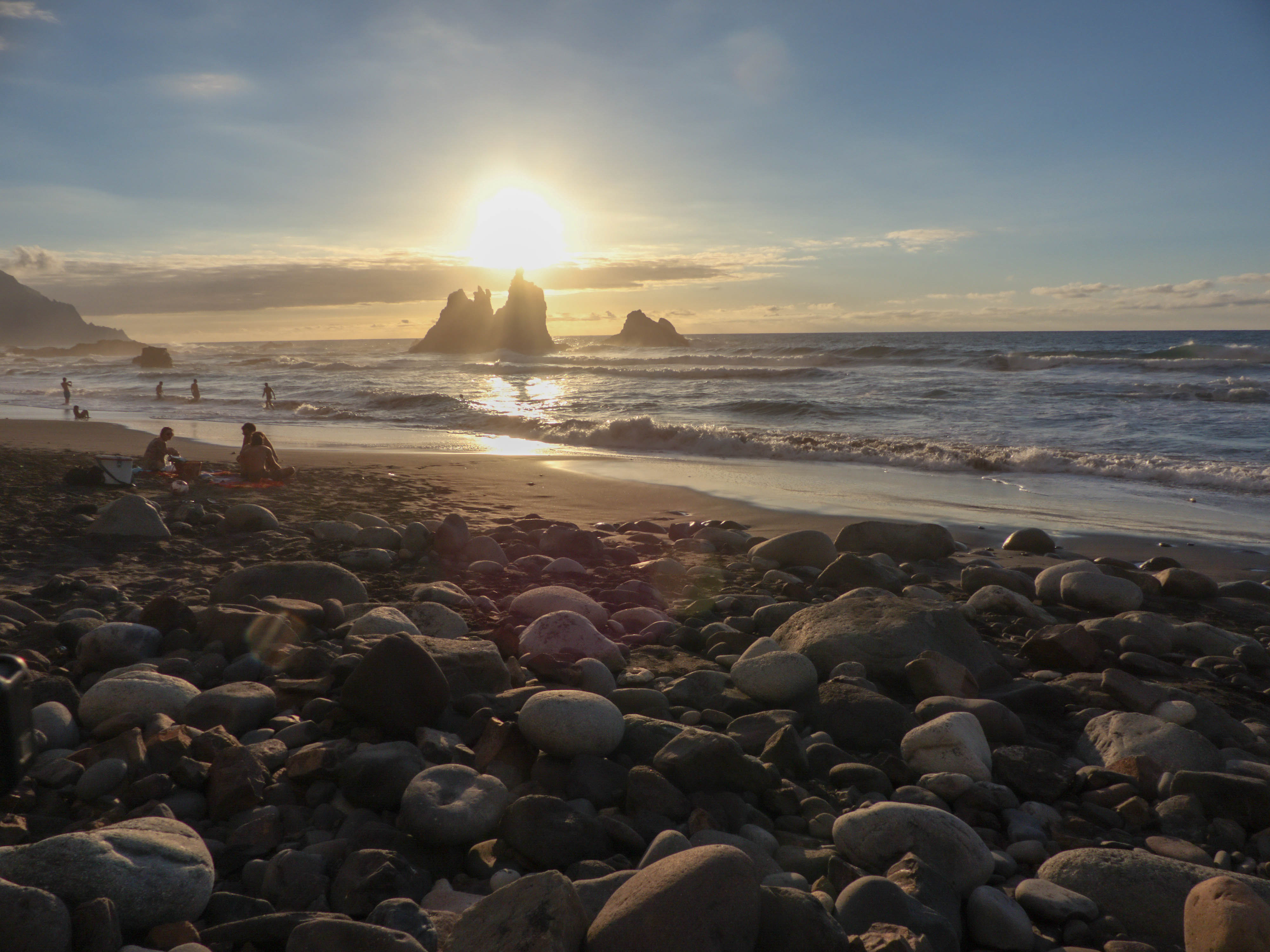
La Gomera
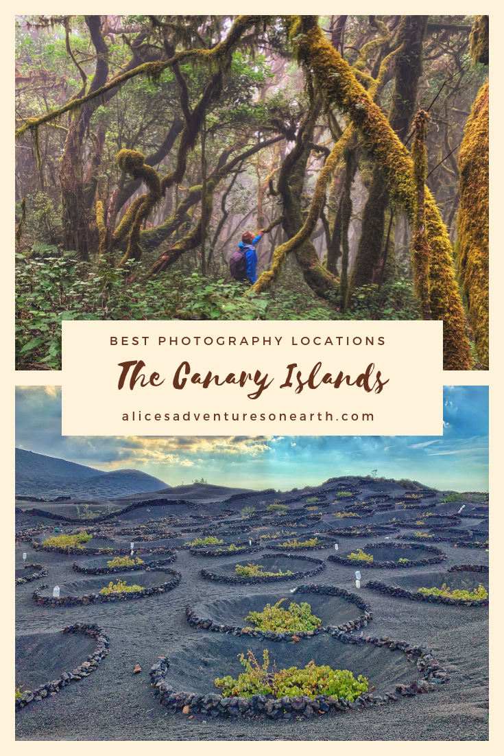
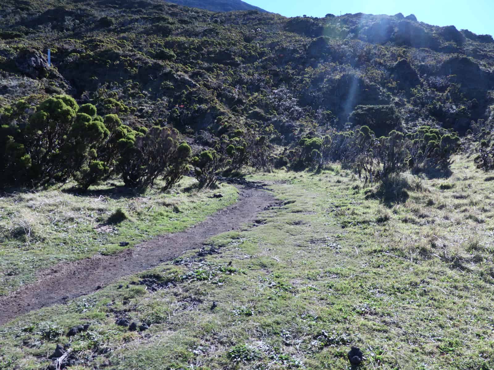
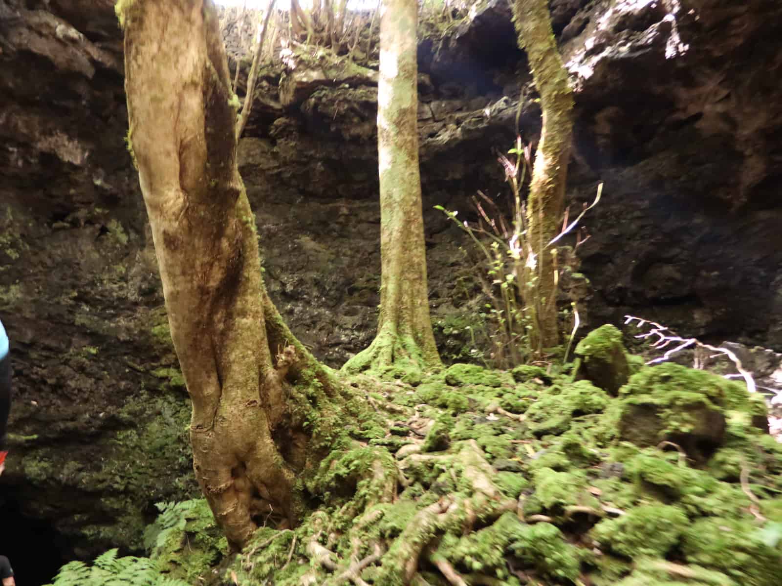
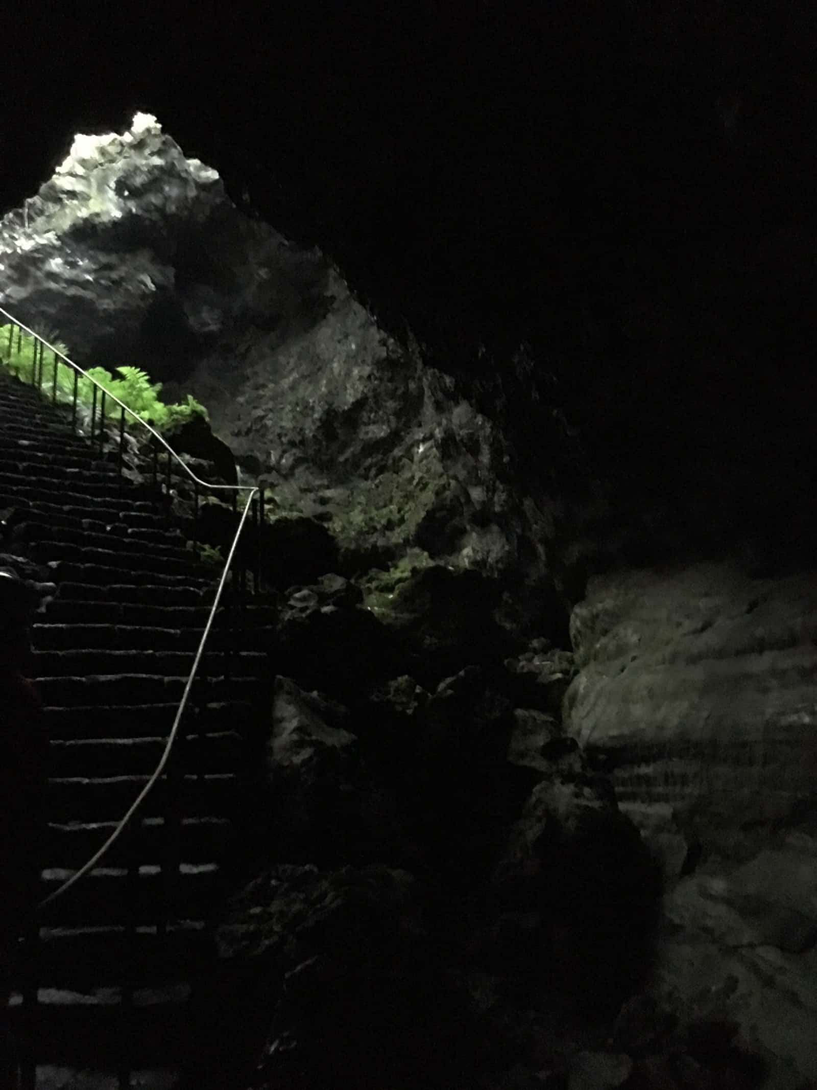
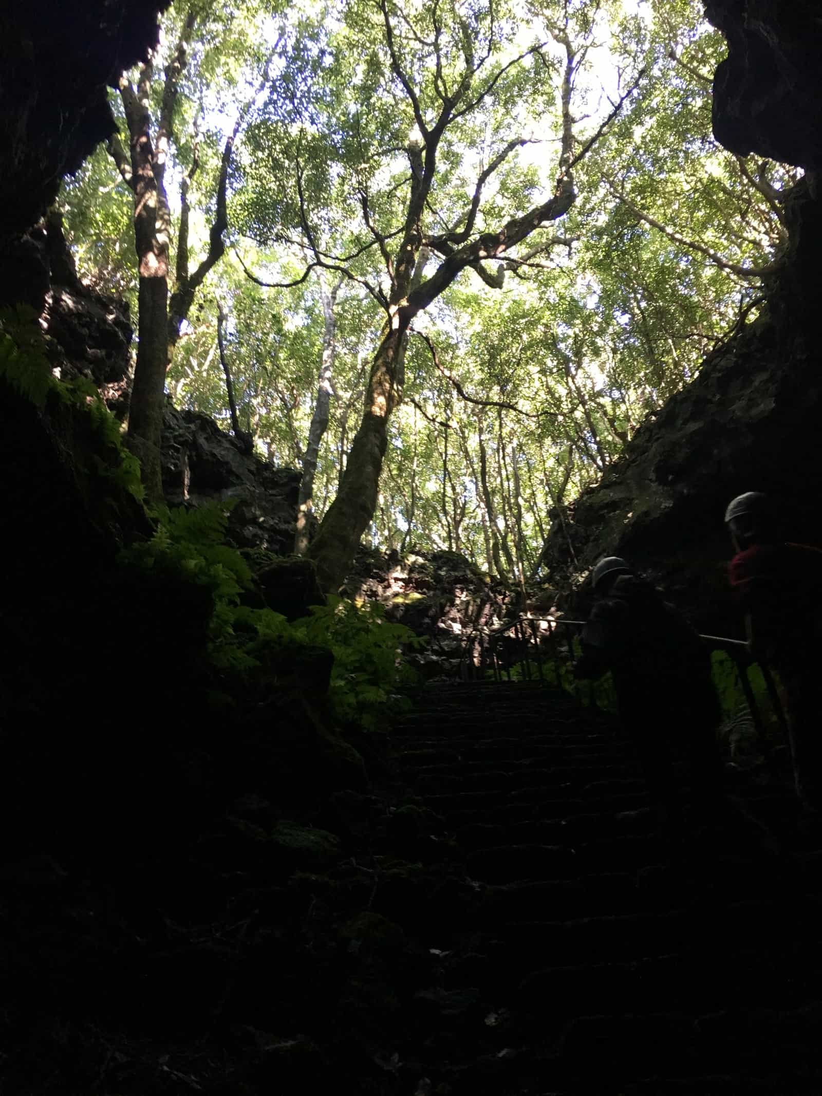
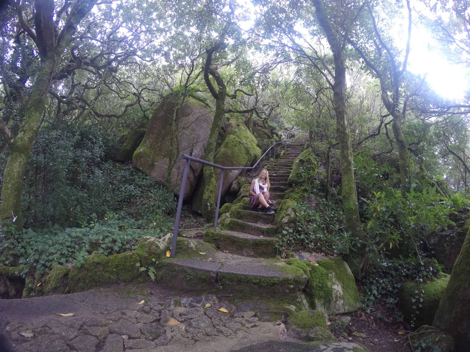
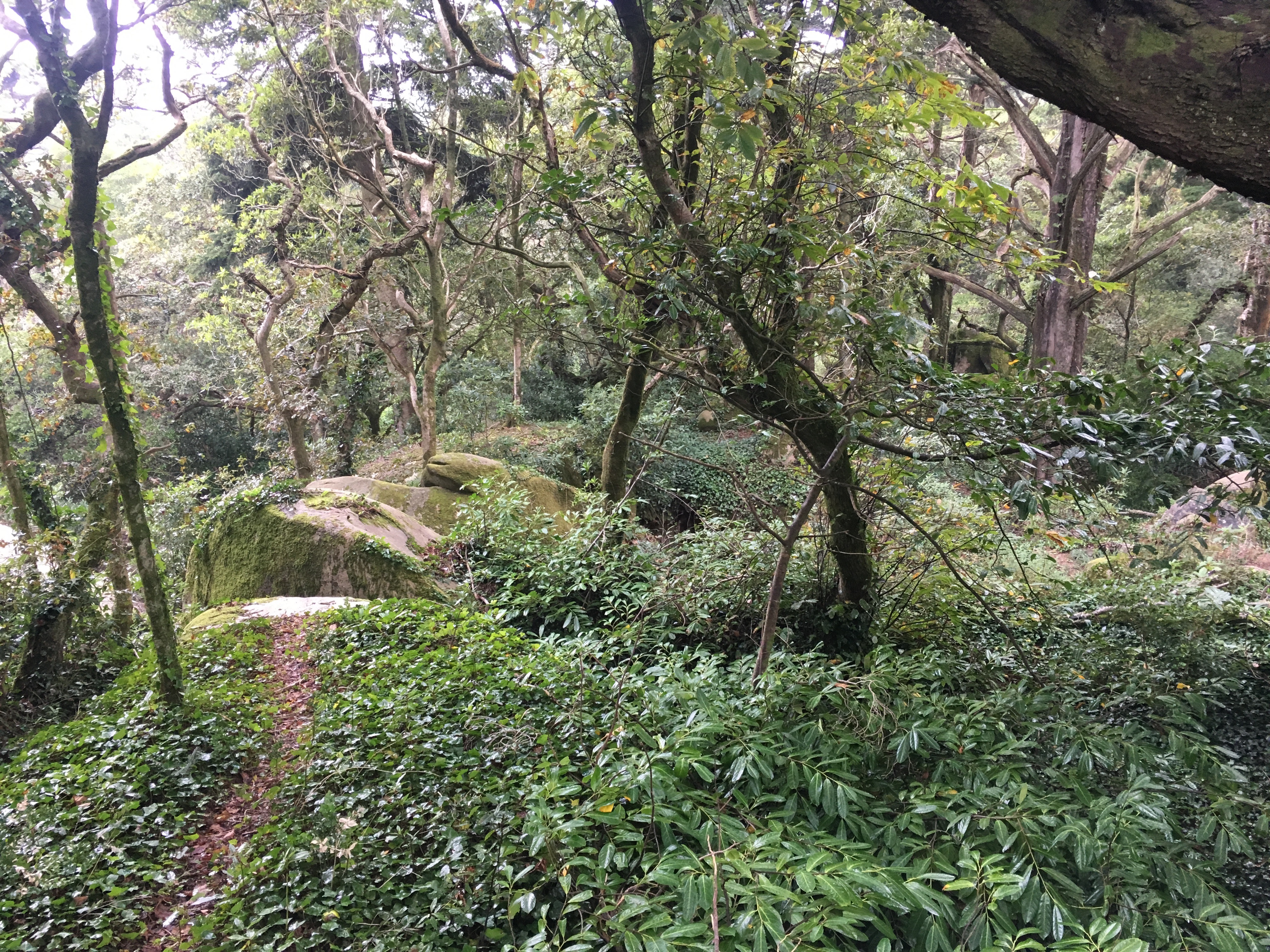
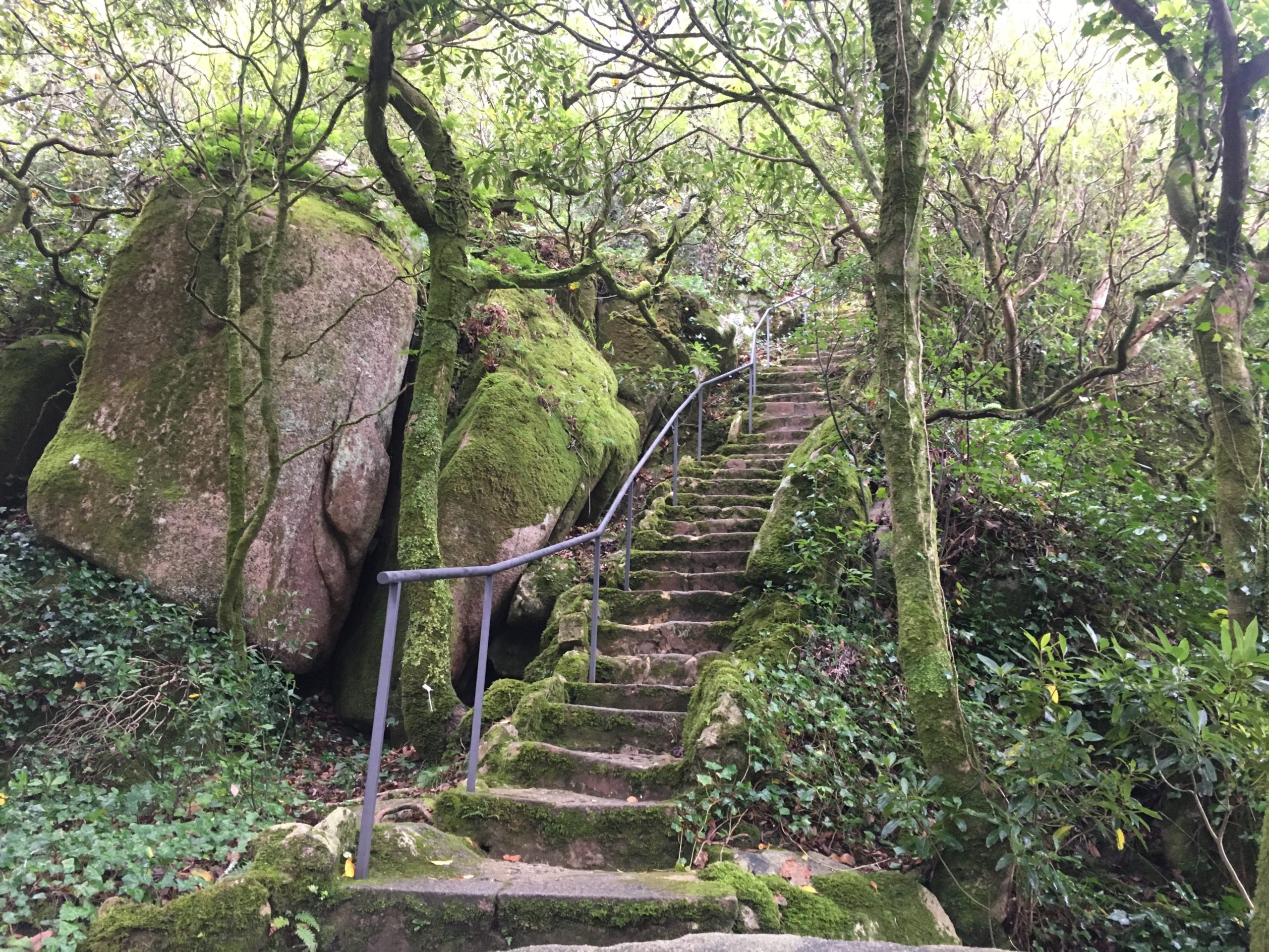
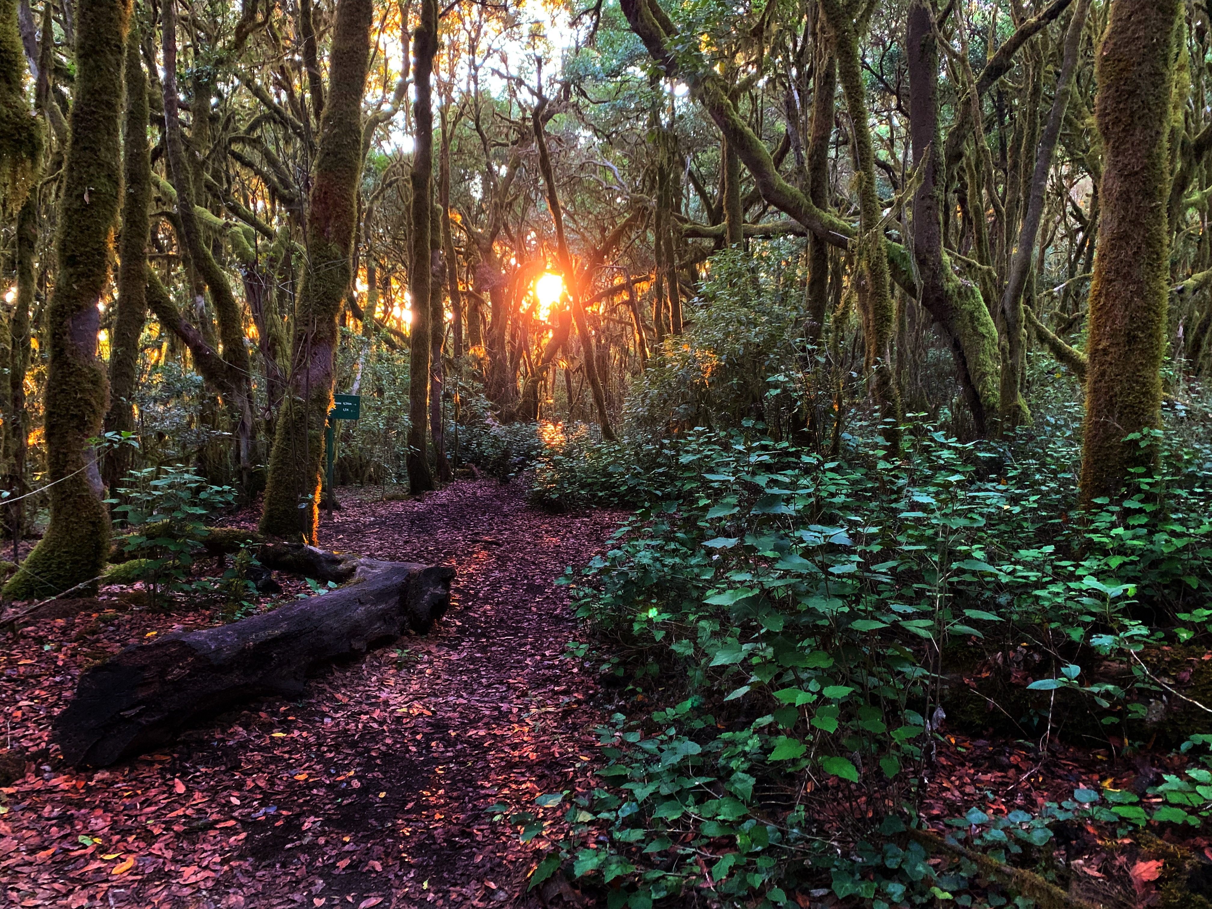
Garajonay National Park holds one of the world’s largest remaining MacroEurasion laurel forests. Sitting at the highest elevations on the island of La Gomera the forest has remained relatively untouched for thousands of years. The dense forest retains high levels of moisture and often gets horizontal rain; a rare phenomenon that adds to the beauty and mystery of this forest. Dozens of hiking trails wind their way through the forest which depending on the type of day can have many different climates. Often filled with dense rolling fog this forest is like something out of a fairytale. Due to the wet conditions held within the forest moss grows on all sides of the trees. With perfect light and a light fog you will have photographs from this mystery land that no one else on earth can compete with.
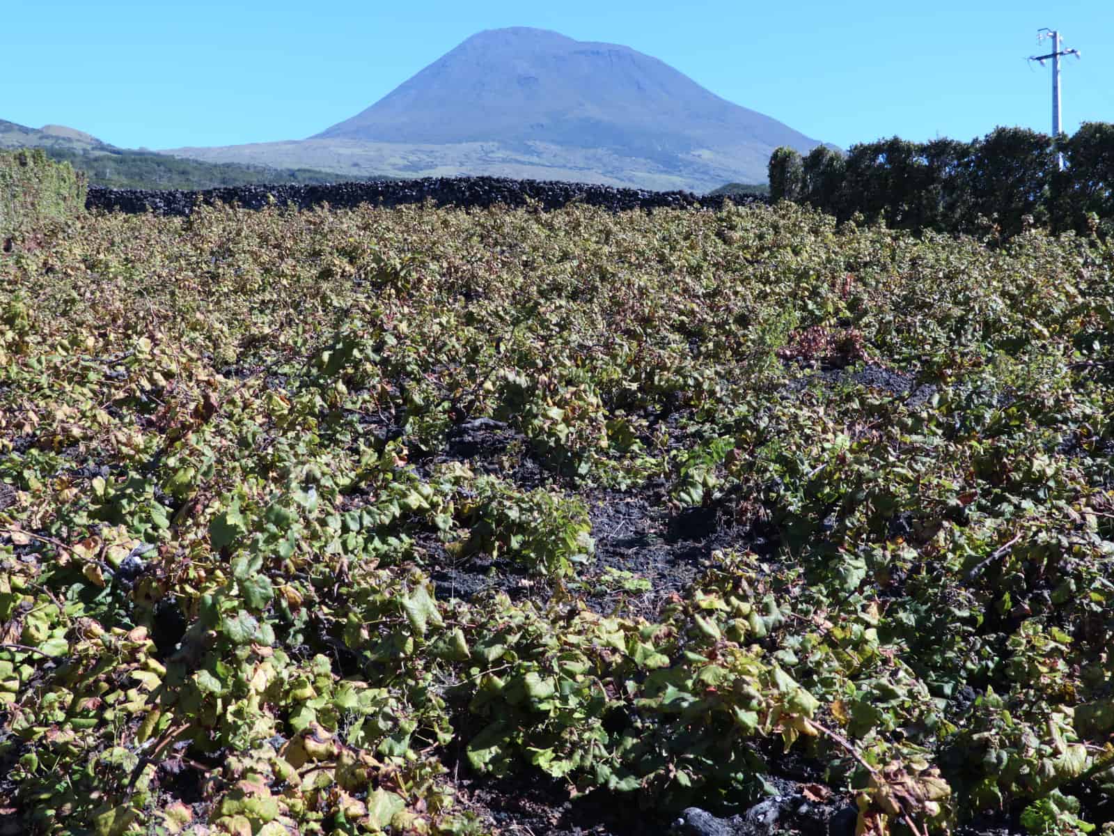
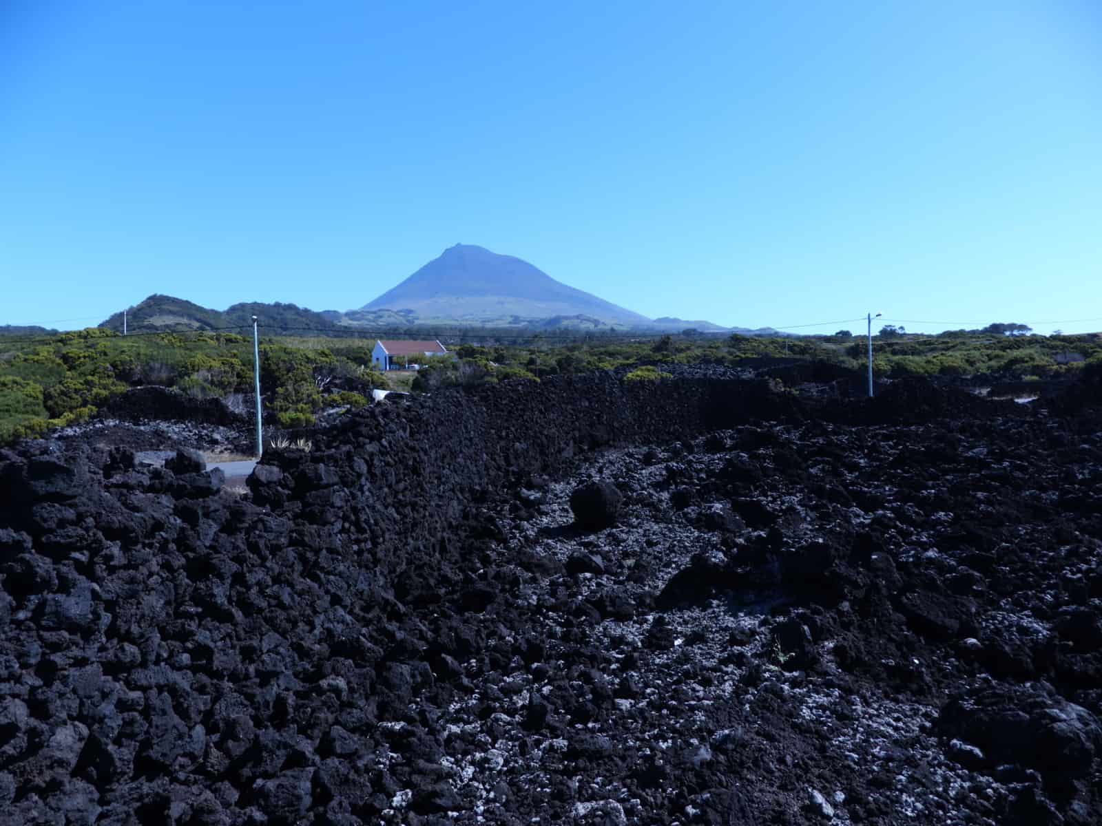
Lanzarote
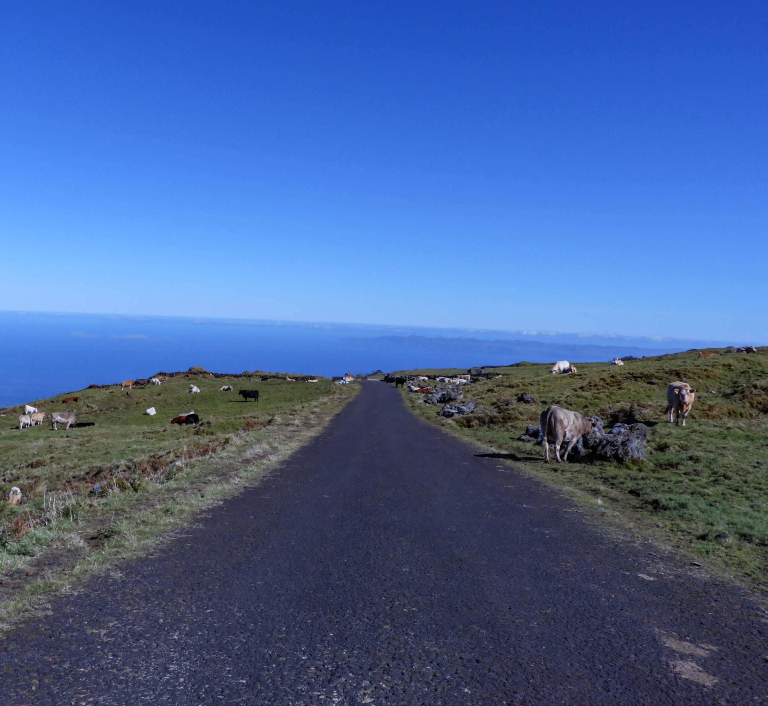
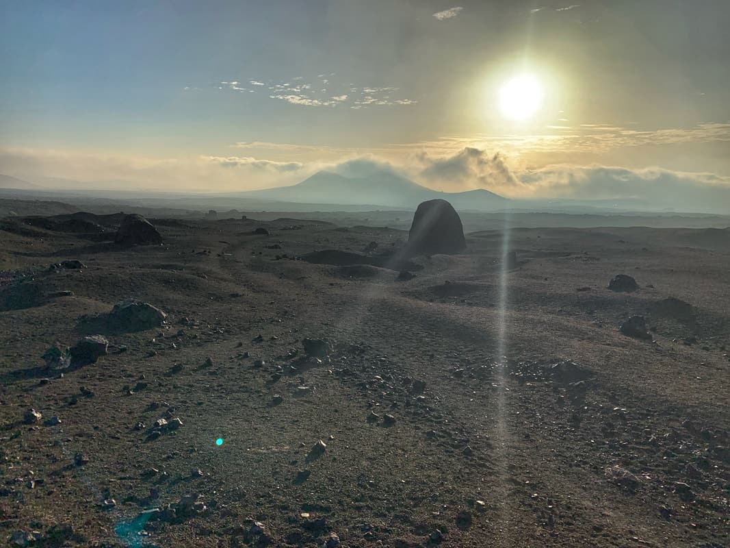
The island of Lanzarote is home to Timanfaya National Park, an extra terrestrial landscape home to more than 800 volcanoes. A geologists dream come true this landscape has been utterly shaped by volcanic eruptions leaving river ways of hardened magma and areas where the earth seems to cave, bubble and disappear. Caldera Blanco is one of the few volcanoes that visitors can hike into and it is a great place for photography. Surrounded by massive volcanic bombs and other pyroclasts that in the eerie morning light transform the planet we know into the landscape of Mars.
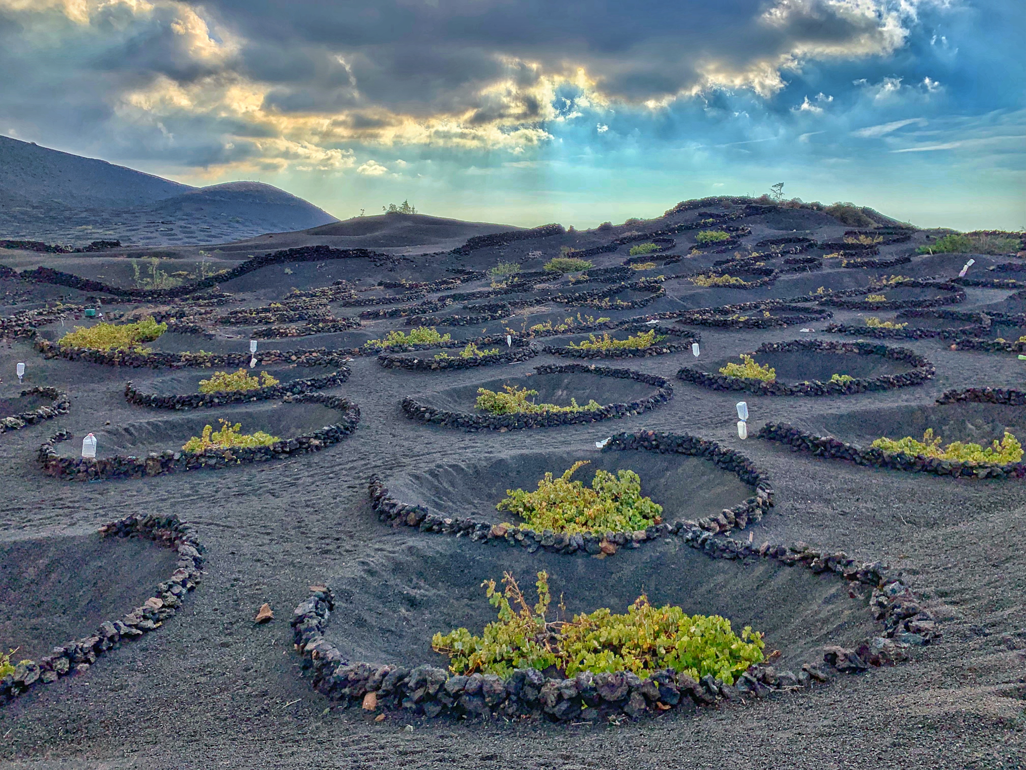
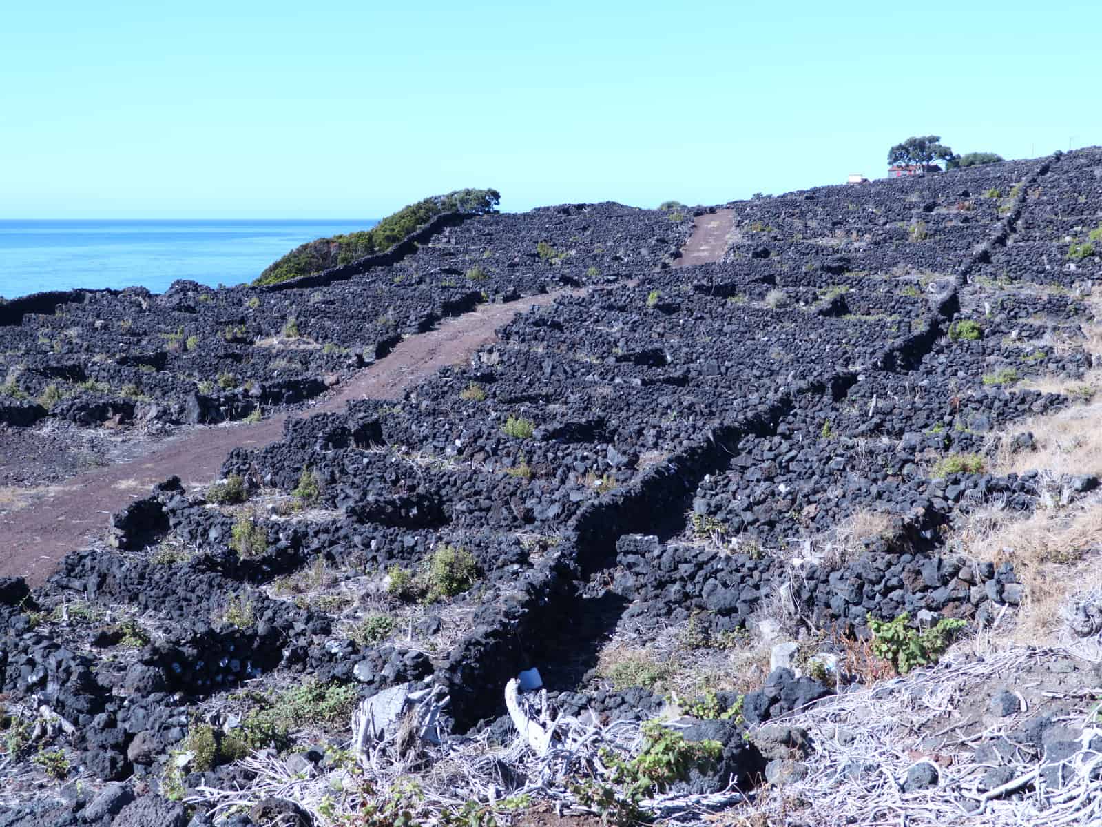
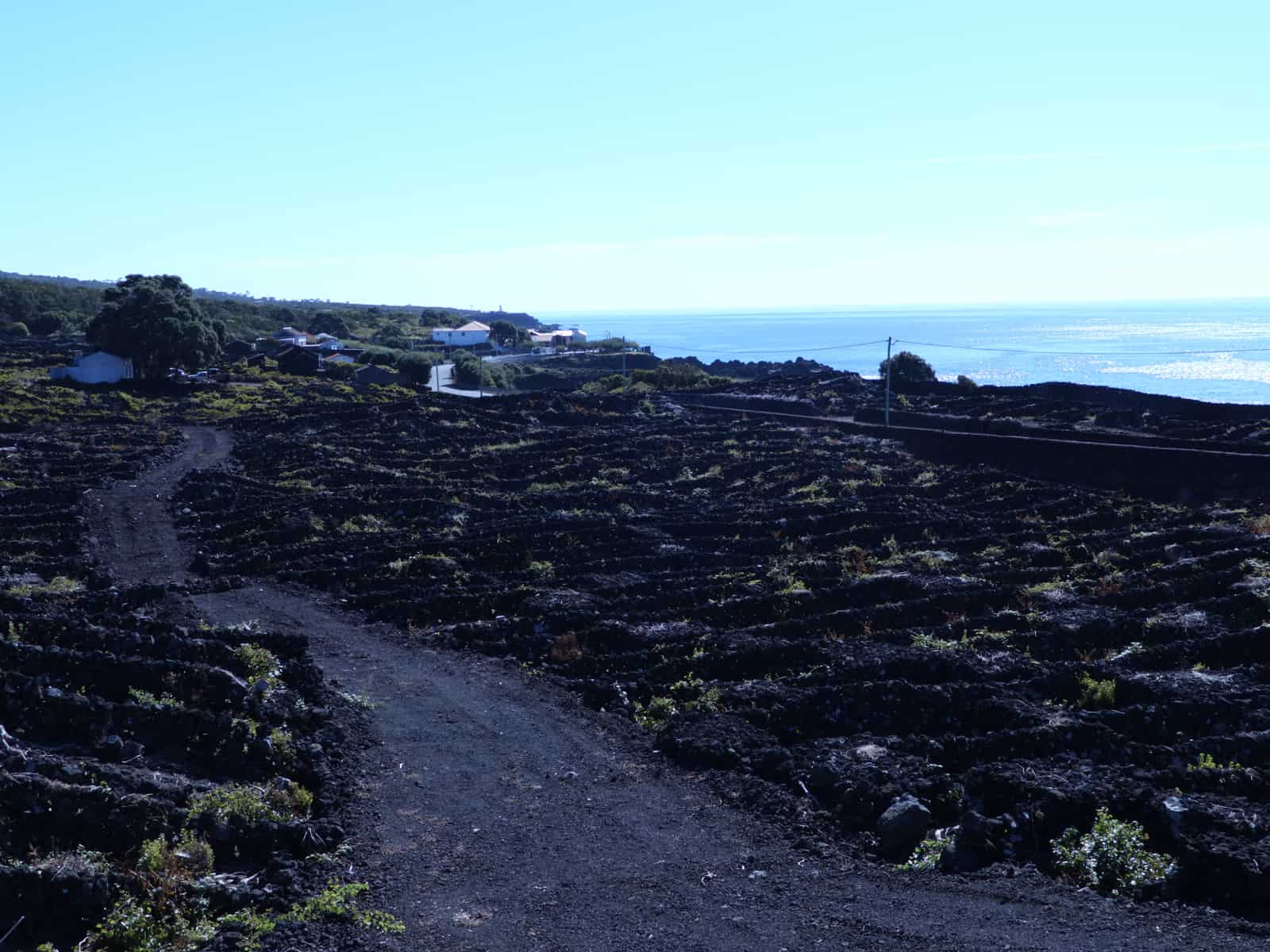
La Geria
Driving out to Timanfaya you will pass by the wine growing region called La Geria, Here wines are grown in the confines of circular volcanic breaks that protect the individual plants from wind and harsh sunlight. It is a completely unique way of growing and the miles and miles of shallow lava rock walls make for a landscape unlike any other on earth.
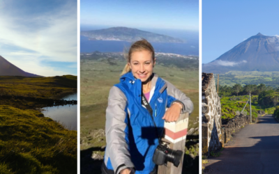
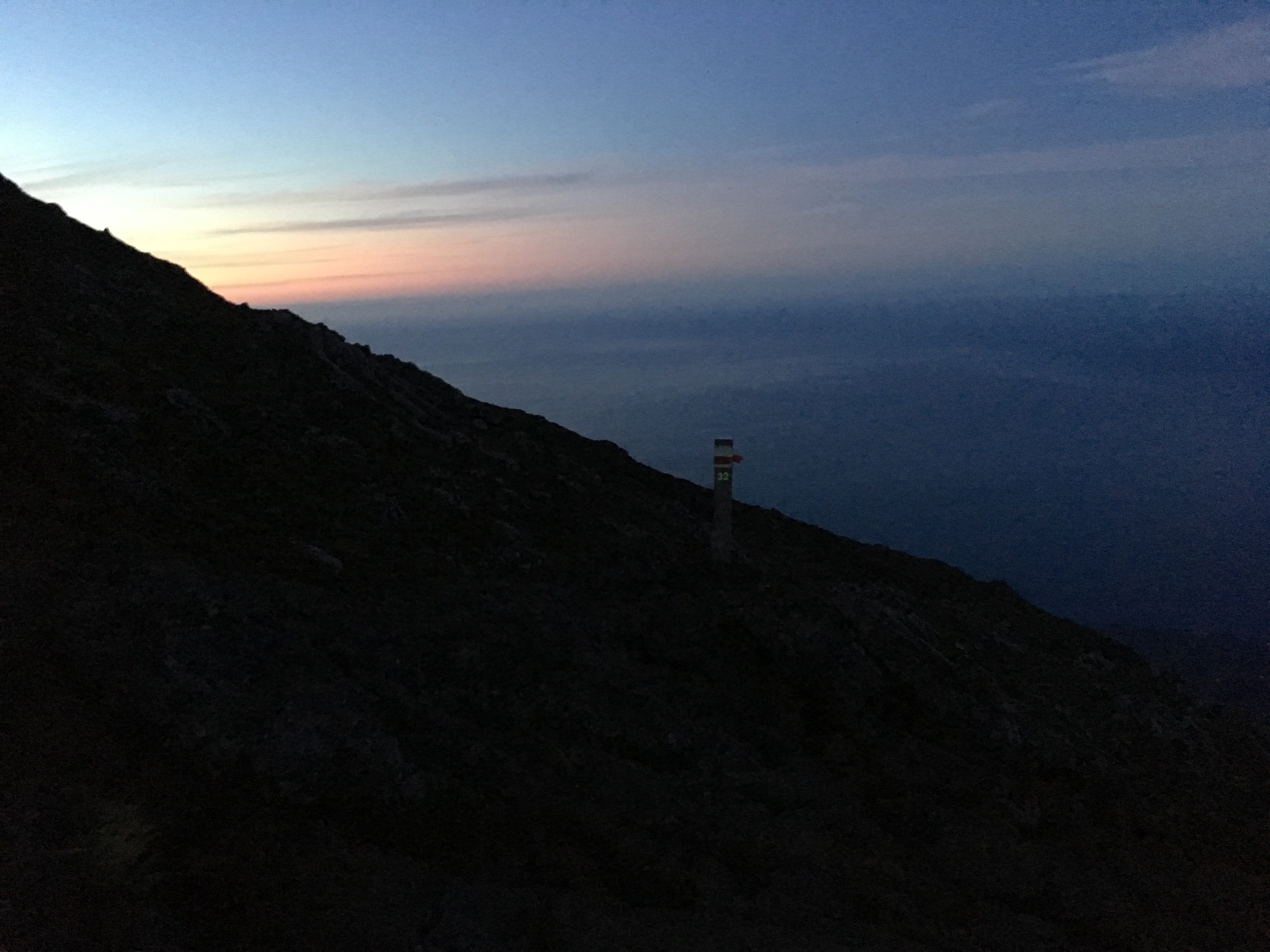
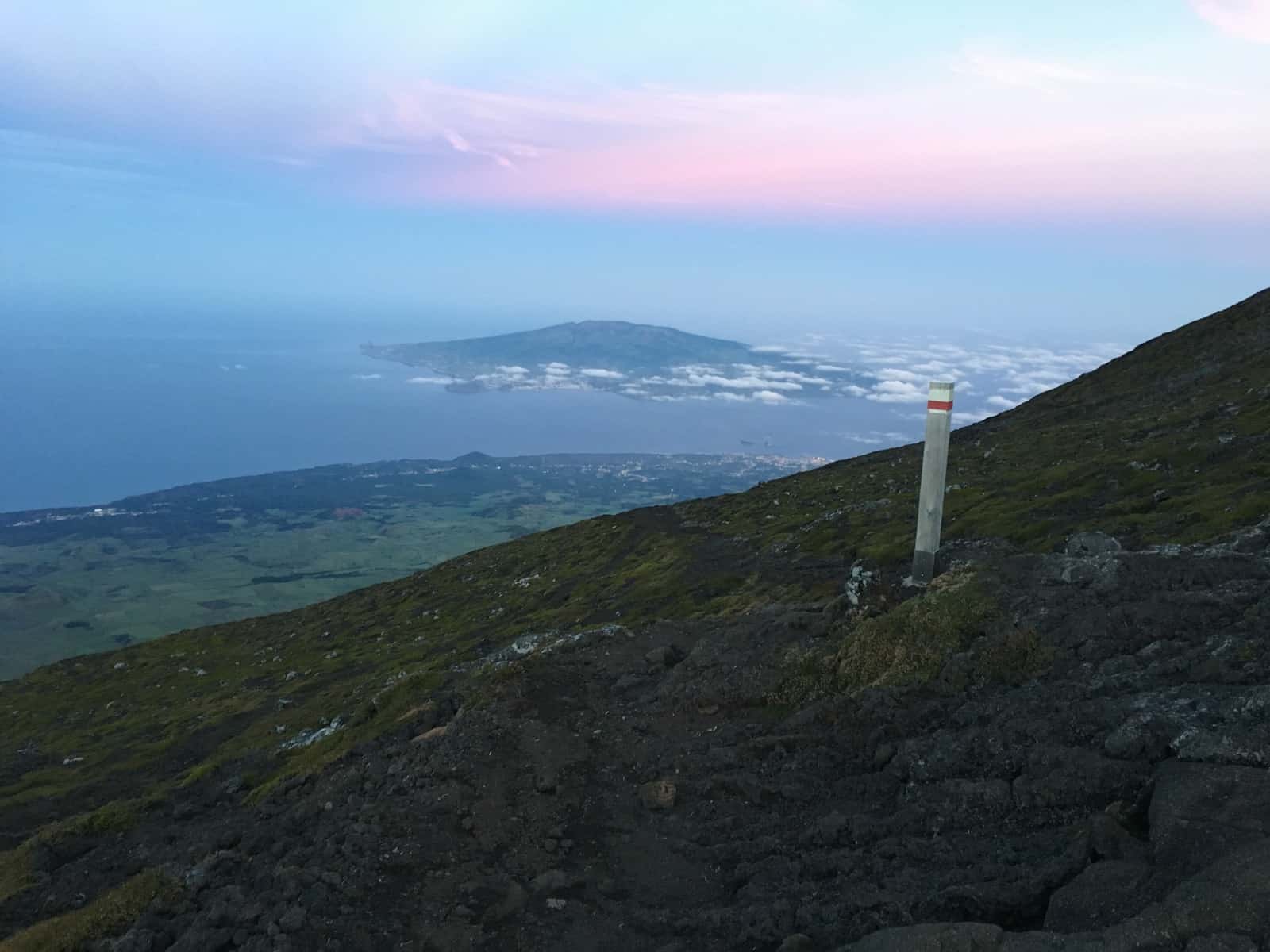
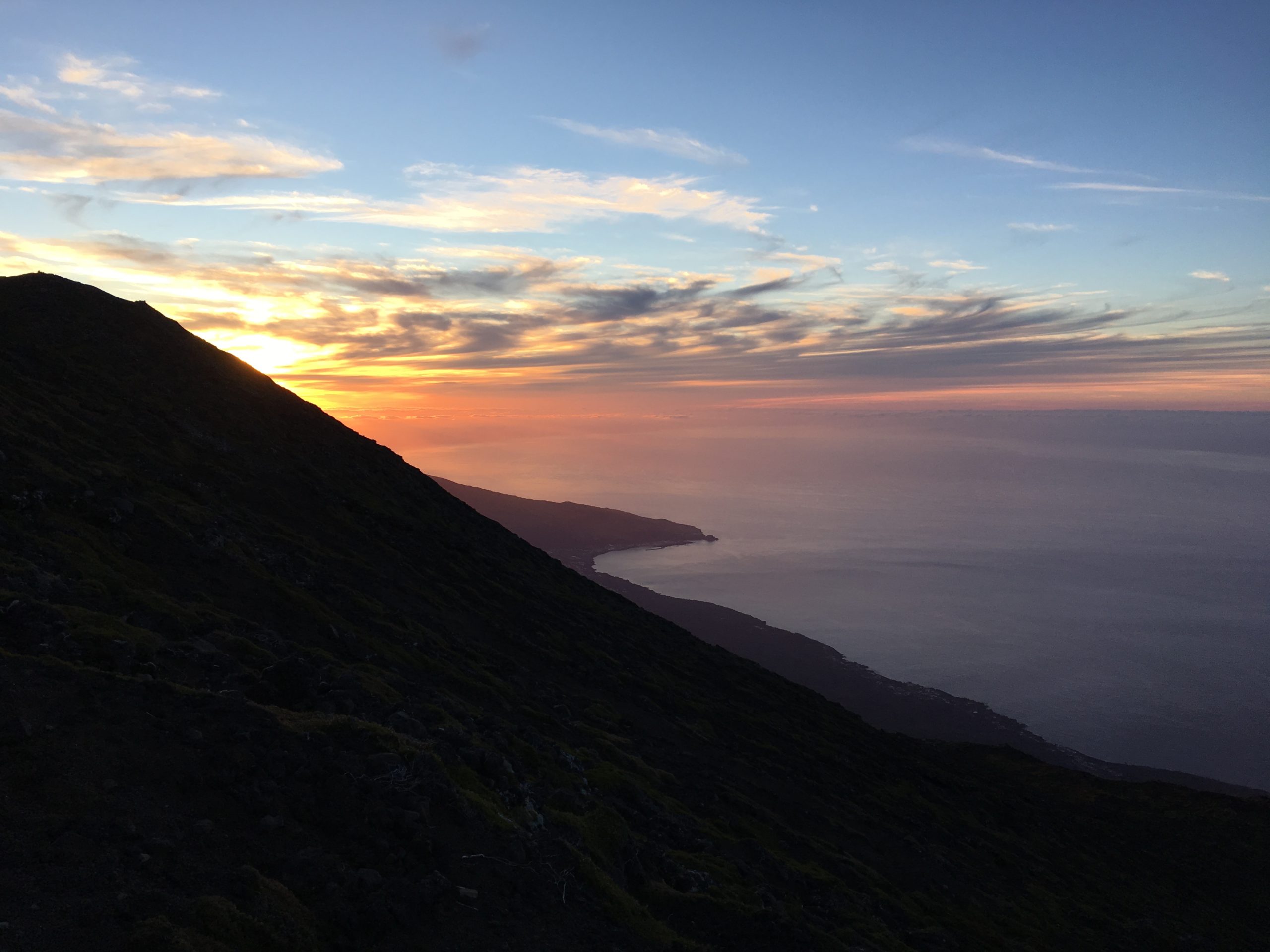
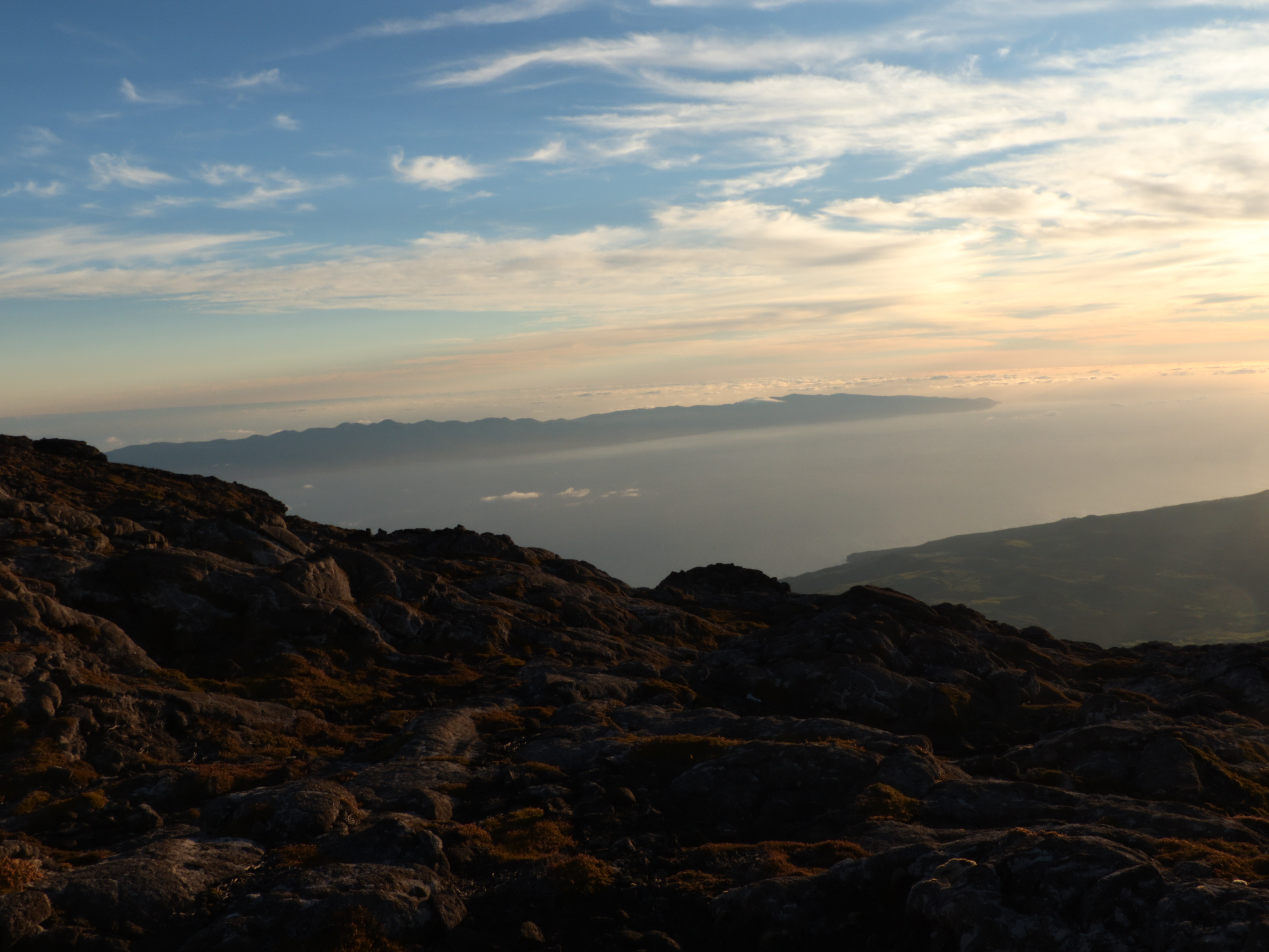
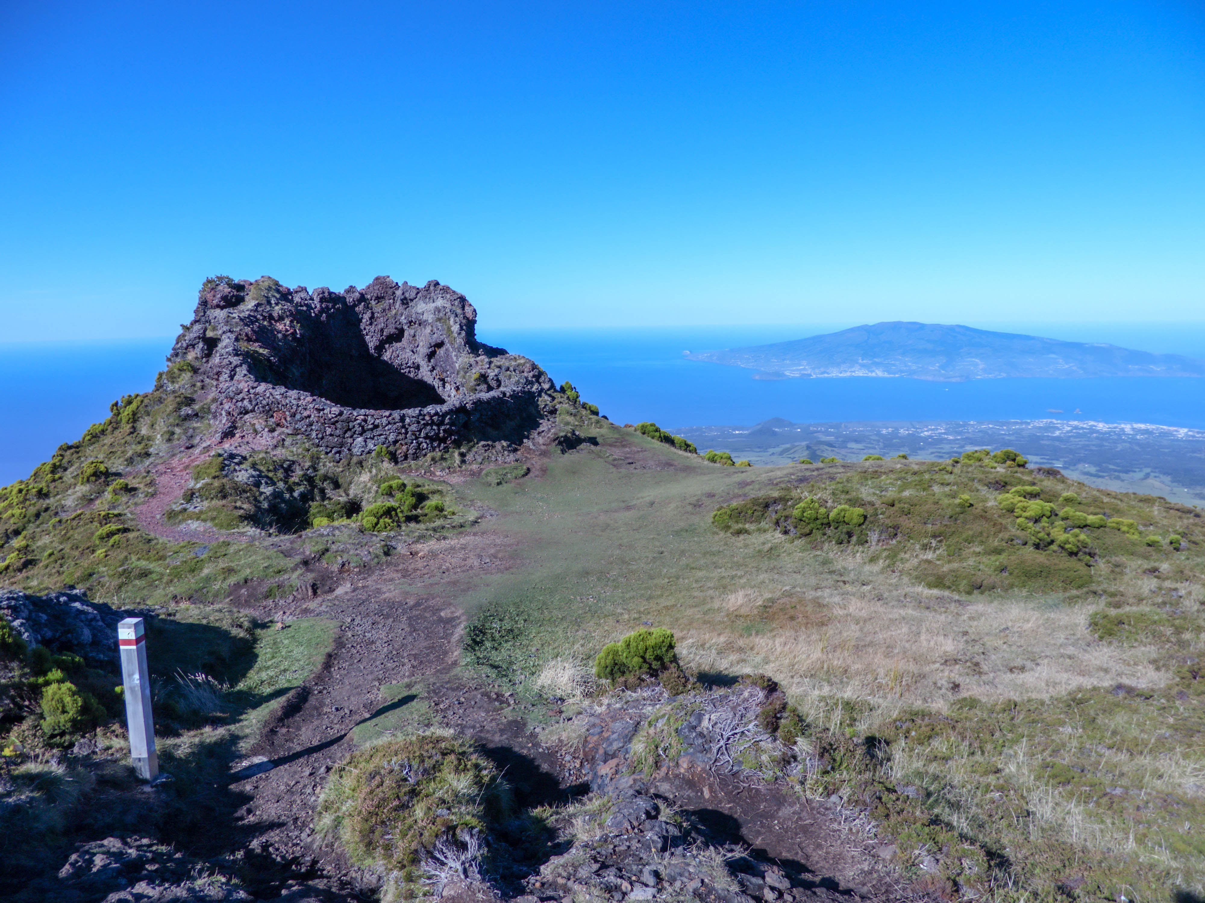
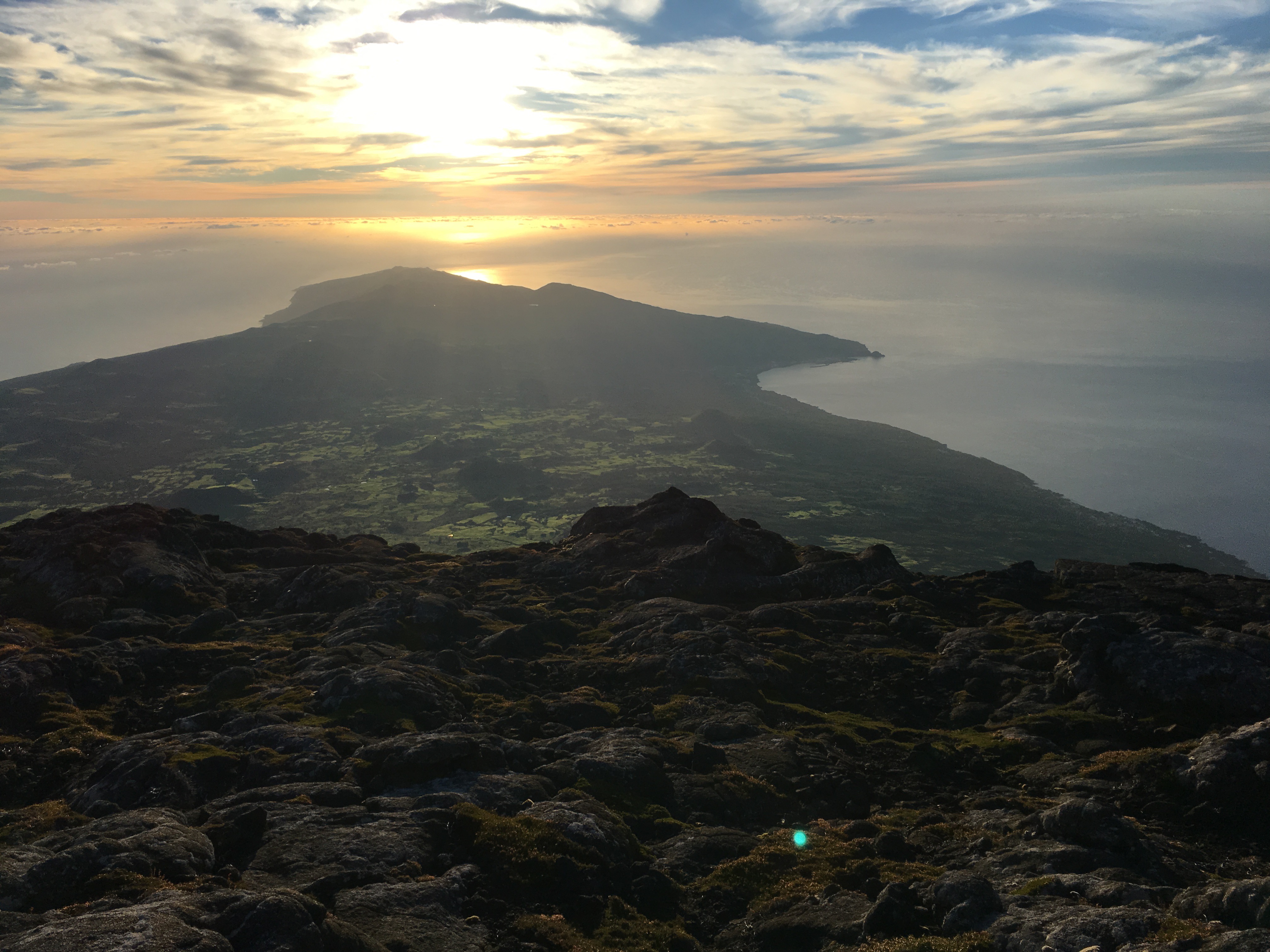
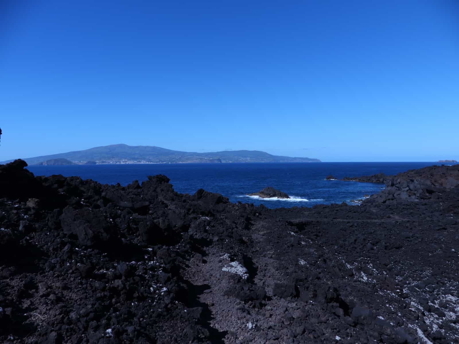
Roque de los Muchachos is a rocky mound at the highest point on the island of La Palma in the Canary Islands. One of the most beautiful places I have ever seen, it feels like you could touch the heavens with the palm of your hand when standing upon its volcanic rocks that reach more than 2,400 meter above sea level. For science lovers you can also revel at the Observatorio del Roque de los Muchachos, where some of the world’s largest telescopes are situated; the altitude and the dryness of the climate here give rise to excellent observing conditions. The rocks are contained with the Parque Nacional de la Caldera de Taburiente. From the Roque, one can see the islands of Tenerife, El Hierro and La Gomera. A dark sky reserve, the view from here as the sun rises is unbeatable.
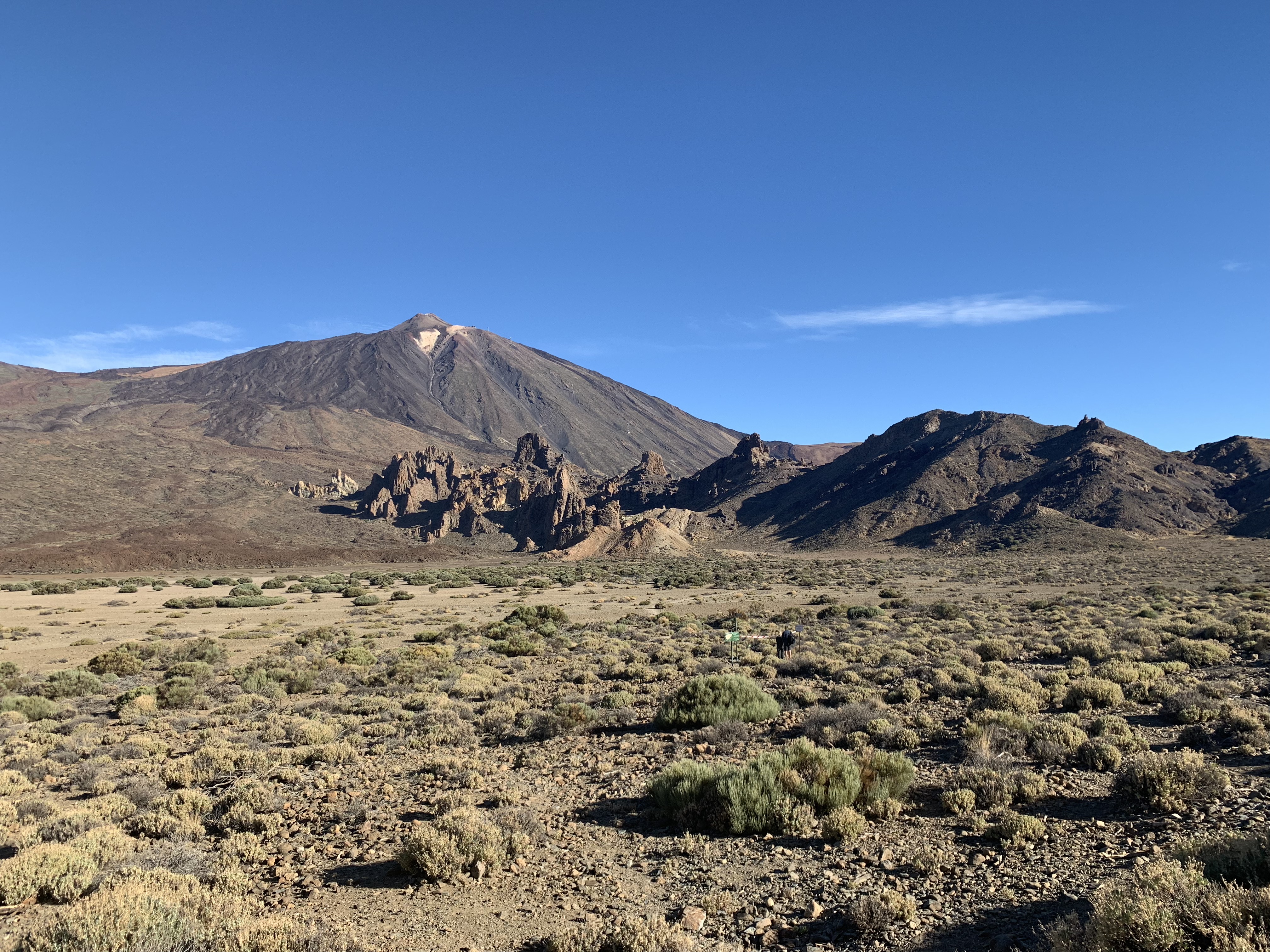
Tenerife
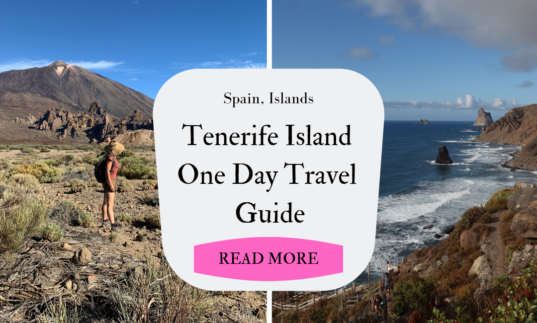
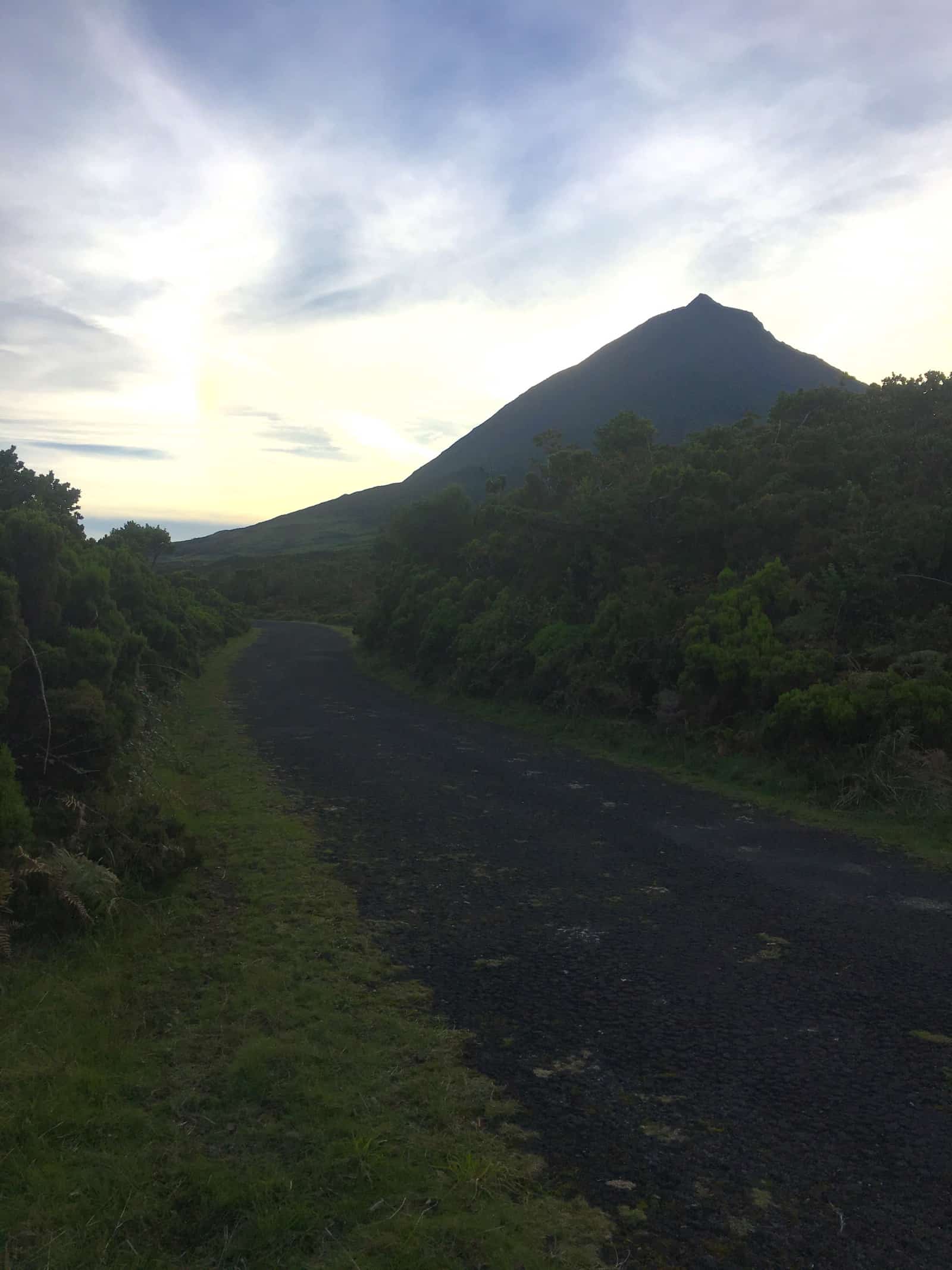
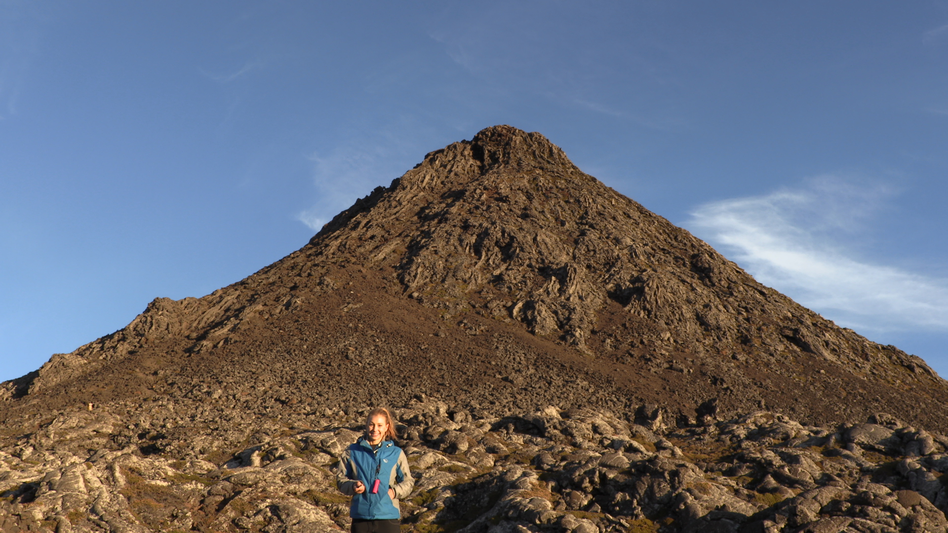
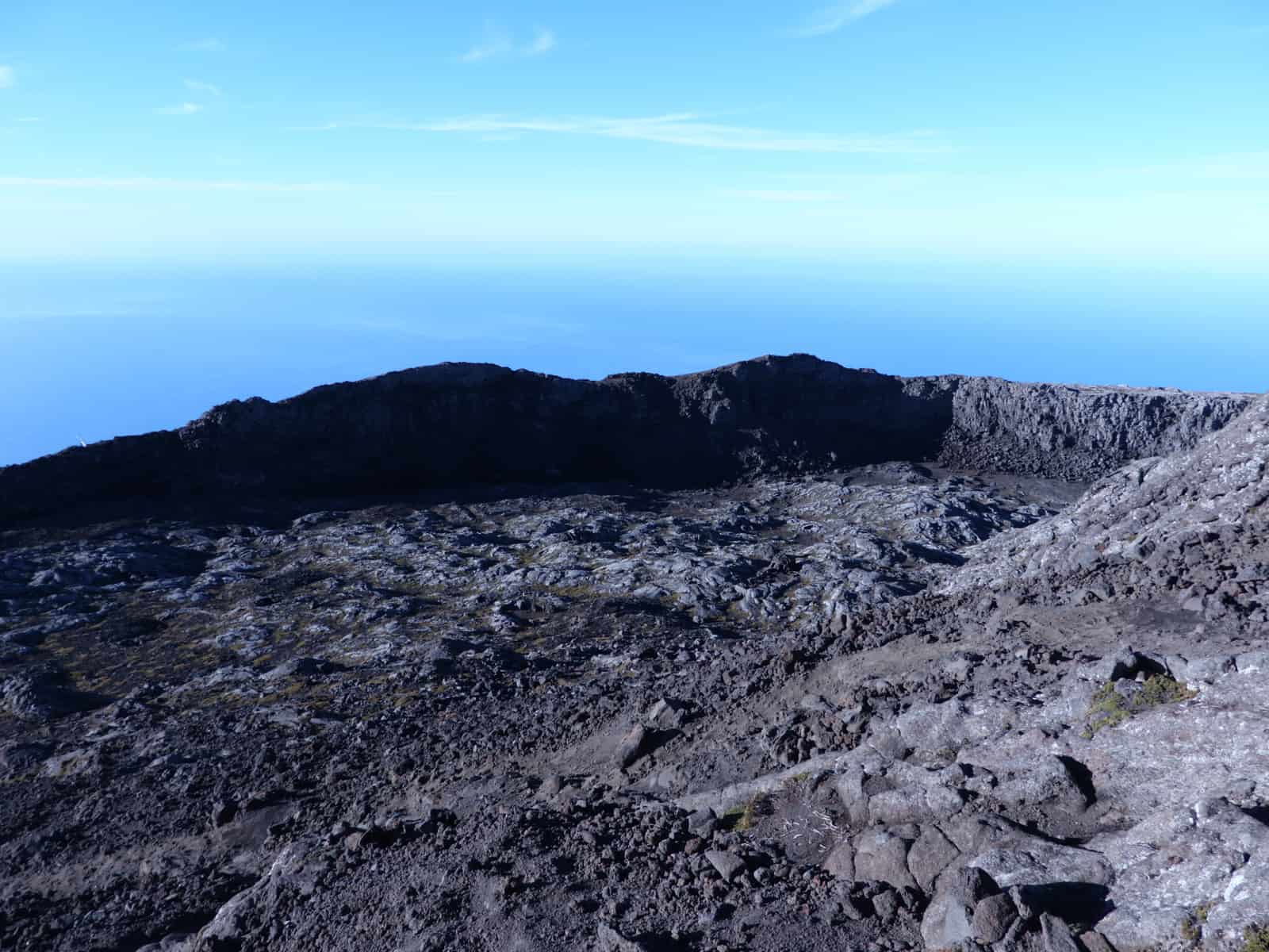
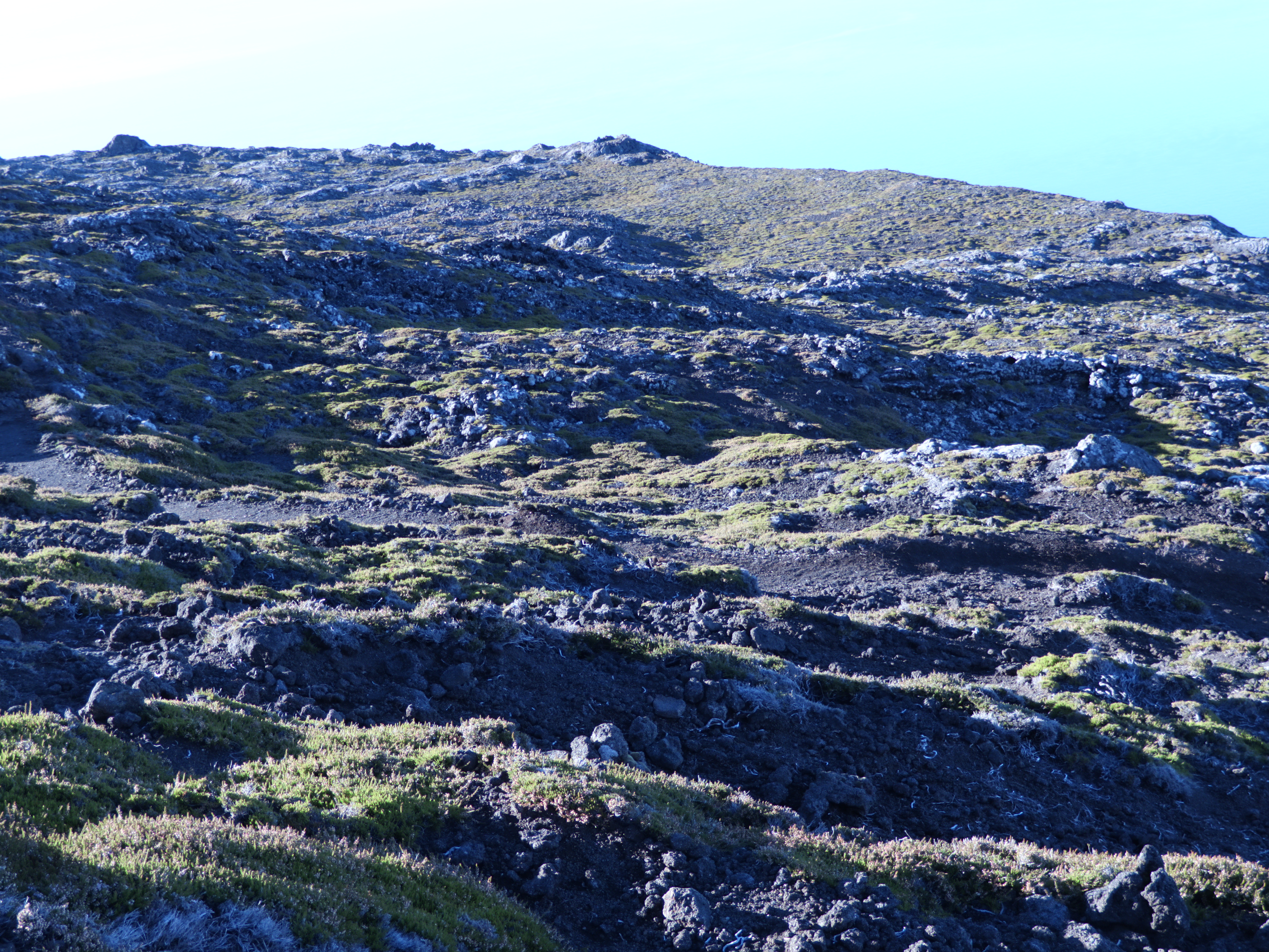
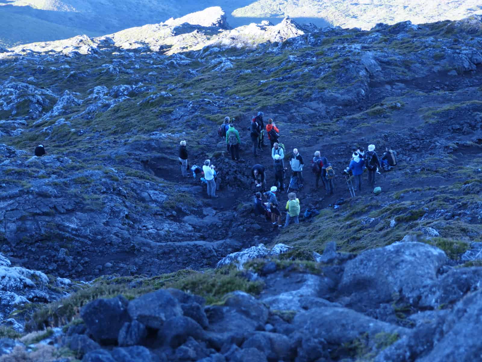
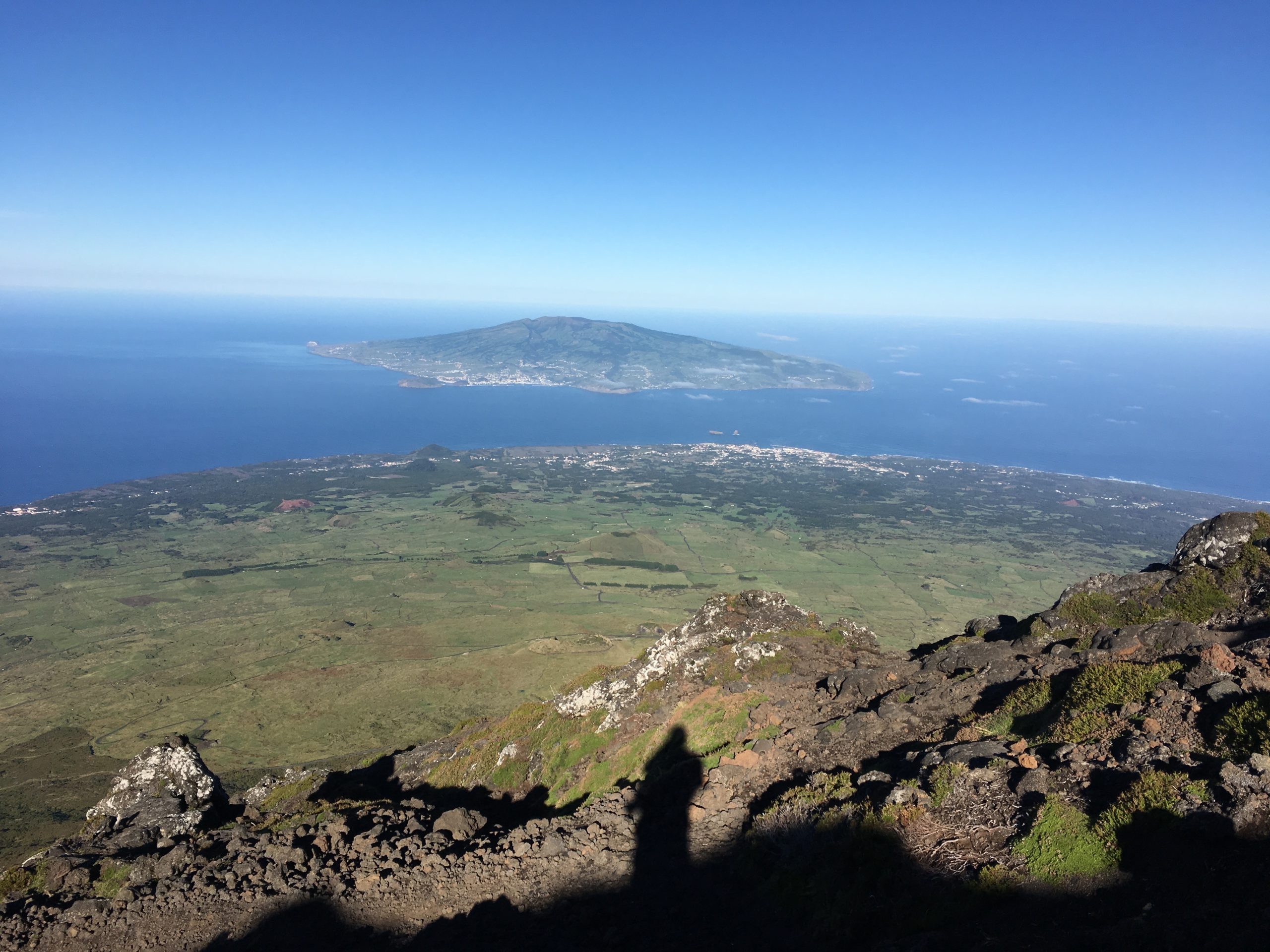
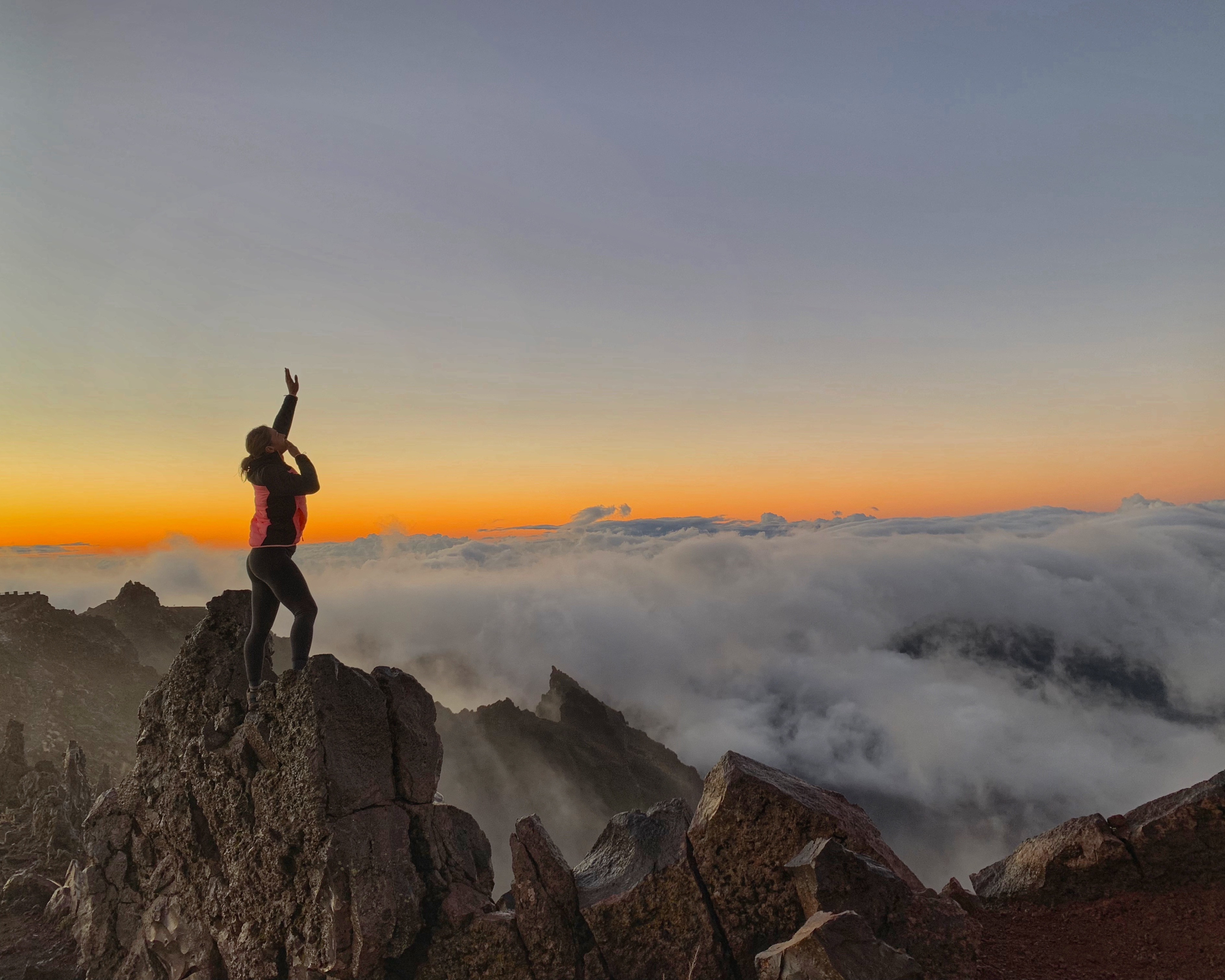
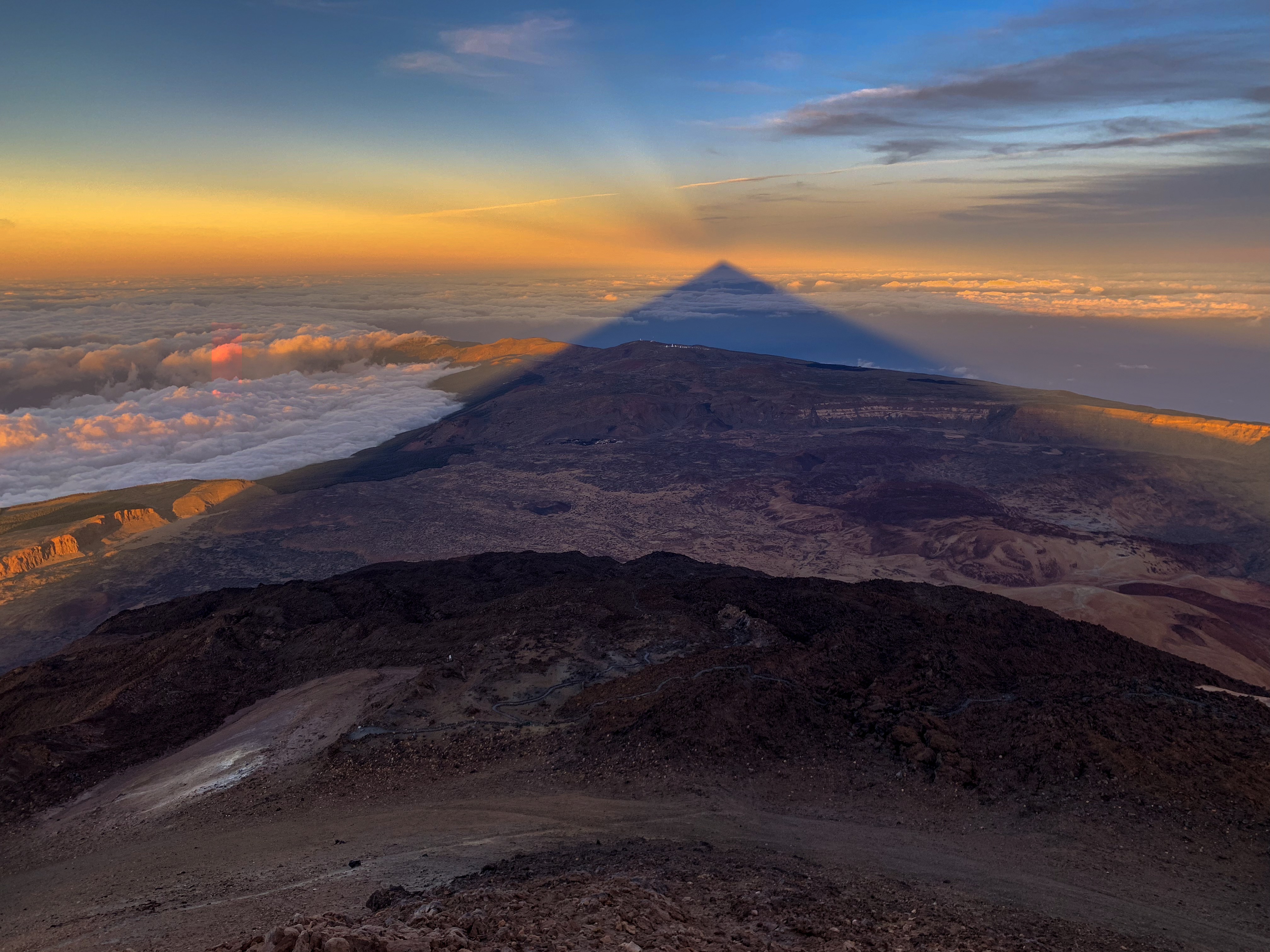
Tenerife is the largest island in the Canarias and has many amazing destinations for great photographs. But the absolute best spot is from the top of El Teide. The tallest mountain in Spain and the third highest volcano on the planet it sits in the center of the island and because of its prominence and location creates a natural shadow unlike anything I have ever seen. At sunset and sunrise the shadow is at its largest and its said that it stretches for thousands of feet out into the sea. With an elevation of more than 3700 meters getting to this height is not for everyone but it is one of the most accessible mountain peaks you can reach. Walking from the bottom is an option and takes about 6 hours for those in good physical condition. The other option is to take the gondola up to the summit viewpoint which sits about 800 meters from the summit. From here you can hike the remaining 45 minutes to the peak where amazing views like this can be seen. During daytime hours a permit is required to climb and must be reserved well in advance.
Fuerteventura
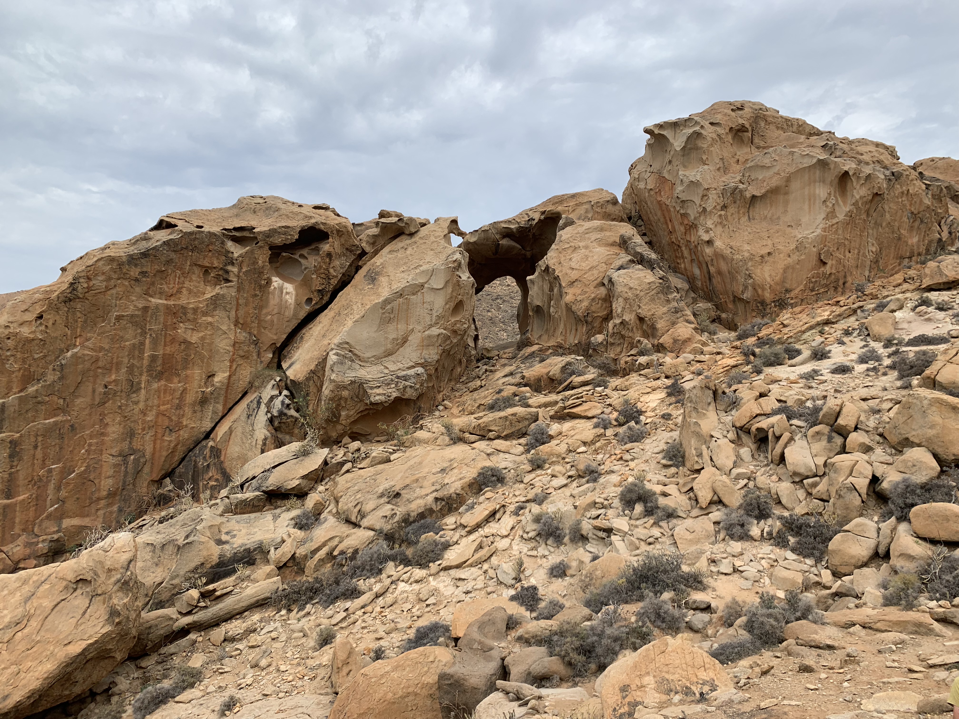
The Archway at Penitas Dam is located on the island of Fuerteventura : Toted as one of the world’s most beautiful natural art pieces, this arch is tucked into the hillside and hidden from view from below. To reach it you must scramble and hike up the hill from the Barranco at Penitas. You might find yourself being followed by some resident goats who love exploring the area as much as you will.
While every island in the Canaries has beautiful and unique locations for photography these are some of my favorites. I have traveled through 7 of the 8 Islands and explored some of the most magical places. To check out some of my other great finds you can subscribe to my lists on Trover. A great site where photographs can be geotagged with the exact locations, making it easier for us to get that perfect shot. Create your account today and make sure you give me a follow too.
Pin Me